• ow logo
    • Getting Started
    • Marketplace
    • Maps
    • News
    • Support
    • For Enterprises
    • Login
    • Sign up
ow logo
Login

Build smarter, plan better with the world’s most flexible weather data platform

Build smarter, plan better with the world’s most flexible weather data platform

  • Get API Key
  • Explore API Docs

Products

  • Current and Forecast APIs
  • Historical Weather Data
  • Weather Maps
  • Weather Dashboard
  • Widgets

Subscription

  • How to start
  • Pricing
  • Subscribe for free
  • FAQ

Technologies

  • Our technology
  • Accuracy and quality of weather data
  • Connect your weather station
Offices
  • London, UK

    The Gherkin, 30 St Mary`s Axe,  The City Of London, London EC3A 8BF, United Kingdom

  • Paphos, Cyprus

    Gladstonos 12-14, Office 1 Hugge Space, Paphos 8046, Cyprus

  • Delaware, US

    16192 Coastal Highway, Lewes,  Delaware 19958, United States

  • App Store
  • Google Play
  • Instagram icon
  • Facebook icon
  • Telegram icon
  • LinkedIn icon
  • Medium icon
  • GitHub icon
  • Discord icon
  • ISO 9001
  • ISO 27001
  • CNB Business Logo
  • RMets Logo
  • ESPO logo
  • LCRIG logo

Company

OpenWeather is a London-based weather intelligence company serving enterprises, developers, businesses, and researchers worldwide. Through its developer business, the company provides global weather data and forecasting services via fast, reliable APIs, delivering historical, current, and forecast weather data for any location worldwide. Combining advanced meteorology, AI-enhanced forecasting models, and scalable data infrastructure, OpenWeather helps customers integrate weather intelligence into applications, services, and operational workflows.

Supplier of Achilles UVDB community
© 2012 - 2026 OpenWeather ® All rights reserved
  • Terms & conditions of sale
  • Website terms & conditions
  • Privacy policy

Documentation

Maps
  • Dropdown icon
    • Product concept
    • How to start
    • Available weather layers
    • Integration examples
    • Troubleshooting
    • FAQ
  • Dropdown icon
    • URL format and Parameters to get Weather maps
    • How to get current, forecast and historical weather maps using only 'Date' parameter?
    • What layers are there in the new weather maps?
    • How to pass my palette in the map?
    • Examples of Weather maps
    • Default palettes
    • Libraries to connect weather layers
  • Dropdown icon
    • URL format and Parameters to get Weather maps
    • How to get current, forecast and historical weather maps using only 'Date' parameter?
    • What layers are there in the new weather maps?
    • How to pass my palette in the map?
    • Examples of Weather maps
    • Default palettes
    • Libraries to connect weather layers
  • Dropdown icon
    • URL format
    • Weather layers
    • Map styles legend
    • Google Maps JavaScript API based on OpenWeatherMap API
    • Libraries to connect weather layers
  • Dropdown icon
    • Features of Global Precipitation Map
    • URL format and parameters
    • Example of Global Precipitation Map layer
    • Libraries to connect weather layers
  • Dropdown icon
    • Features of Global Precipitation Map
    • URL format and parameters
    • Example of Global Precipitation Map layer
    • Default palette ranges
    • Libraries to connect weather layers
  • Dropdown icon
    • URL format and Parameters to get Relief maps
    • How to pass my palette in Relief maps?
    • Examples of Relief maps
    • Libraries to connect Relief maps
  • Dropdown icon
    • Dropdown icon
      • Fire Weather Index range values
    • URL format and parameters
    • How to get Current and Forecast Fire Weather Index maps using only 'date' parameter?
    • Example of Fire Index maps
    • Fire Weather Index map default palette
    • Libraries to connect weather layers

Weather maps 1.0

OpenWeatherMap provides many kinds of weather maps including Precipitation, Clouds, Pressure, Temperature, Wind. You can connect them to mobile and web apps.

We have launched Weather maps 2.0!

Now available Forecast, Historical and Current weather maps. 14 weather map layers with 1-hour step. You can get all of them using only one simple URL!

Learn more

URL format

The following endpoint is available for everyone. It requires only the API key authentication.

API call

https://tile.openweathermap.org/map/{layer}/{z}/{x}/{y}.png?appid={API key}

Parameters

{layer}

required

layer name

{z}

required

number of zoom level. You could find information about correlation between zoom levels, X, Y tile coordinate numbers and level scale here

{x}

required

number of x tile coordinate. You could find information about correlation between zoom levels, X, Y tile coordinate numbers and level scale here

{y}

required

number of y tile coordinate. You could find information about correlation between zoom levels, X, Y tile coordinate numbers and level scale here

appid

required

Your unique API key (you can always find it on your account page under the "API key" tab)

Examples of weather map layers

Clouds

layer : clouds_new

area : worldwide

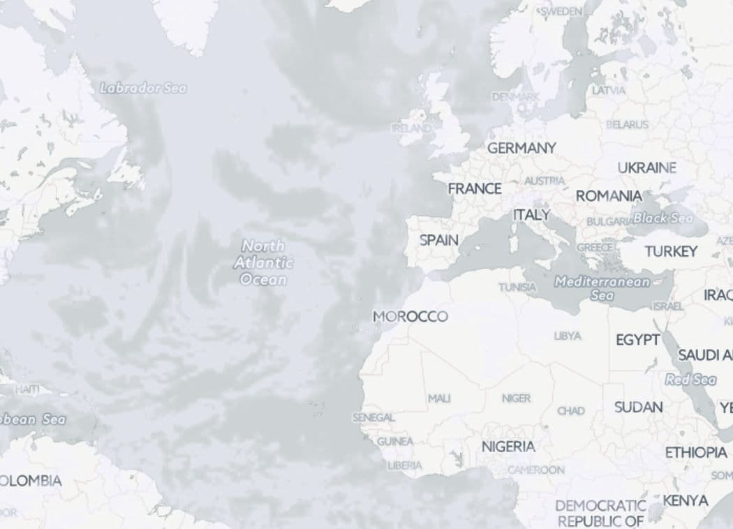
clouds new
Preview weathermap

Precipitation

layer : precipitation_new

area : worldwide
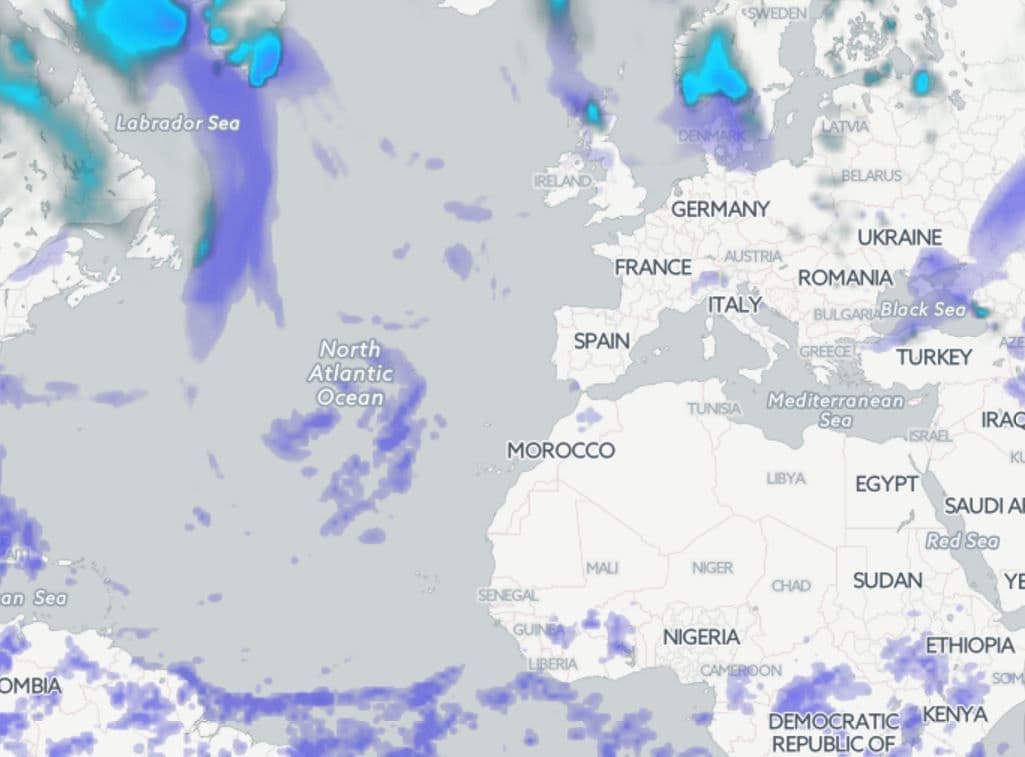
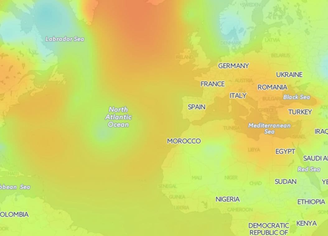
precipitation new

Sea level pressure

layer : pressure_new

area : worldwide

pressure new
Preview weathermap

Wind speed

layer : wind_new

area : worldwide

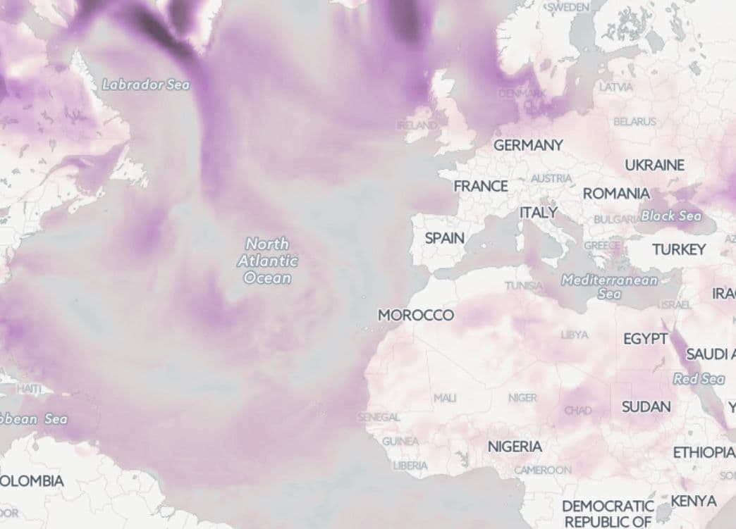
wind new
Preview weathermap

Temperature

layer : temp_new

area : worldwide

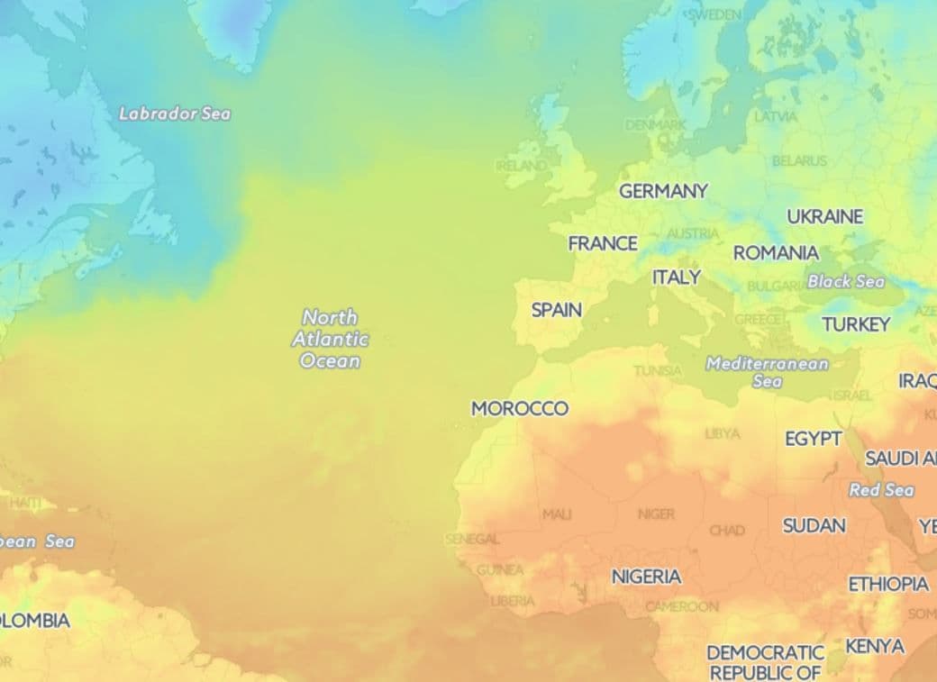
temperature new
Preview weathermap

Map styles legend

Default styles for weather layers

Google Maps JavaScript API based on OpenWeatherMap API

Google has closed their Weather and Cloud solutions since 4th of June 2015 and recommended to use OpenWeatherMap with the Google Maps JavaScript API as an alternative solution.

'Displaying weather data with the Google Maps API and OpenWeatherMap' manual.

Libraries to connect weather layers

Open Layers

The following functions are available for the OpenLayers library:

  • Classes of weather layer and weather stations layer
  • Possibility to set your own style
  • Classes with clustered markers
  • Support of marker server clustering

Leaflet

The OpenWeatherMap javascript library is designed to work with the Leaflet mapping service. The current version of the library allows the following:

  • Embedding of layer with current weather in cities
  • Embedding of layer with weather stations
  • The library supports customer clustering

Another implementation of map based on Leaflet technology supports OWM's TileLayers and current city/station data. It is configurable with many options. For current city/station data the library supports refreshing the data in intervals, some types of client-side clustering (show only the station/city with the highest rank for a defined pixel square), custom image set (if you provide one), different languages ("en", "de", "ru", "fr", but translation is incomplete), minZoom and others.

Source and documentation (README.md) is available on GitHub https://github.com/buche/leaflet-openweathermap

Example of weather map: https://github.com/owm-inc/VANE-intro/tree/master/apps

Using OpenWeatherMap weather tiles with leaflet: PDF